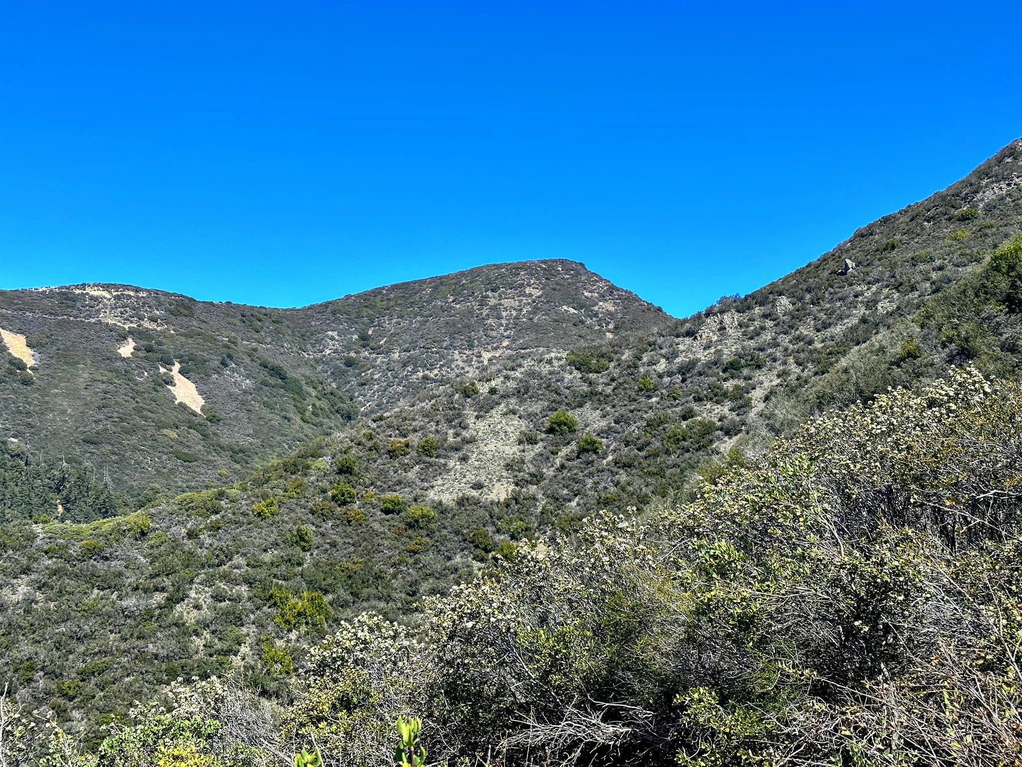
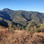
Modjeska Peak, photo by Sunny Yi
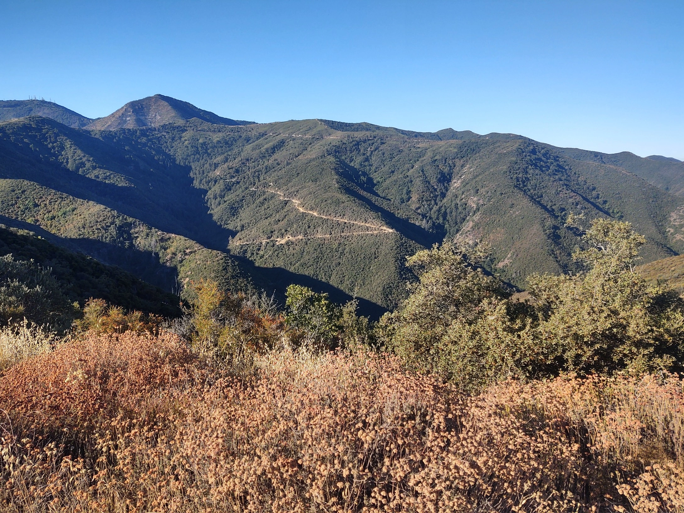
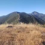
Modjeska Peak, photo by Steve Russell
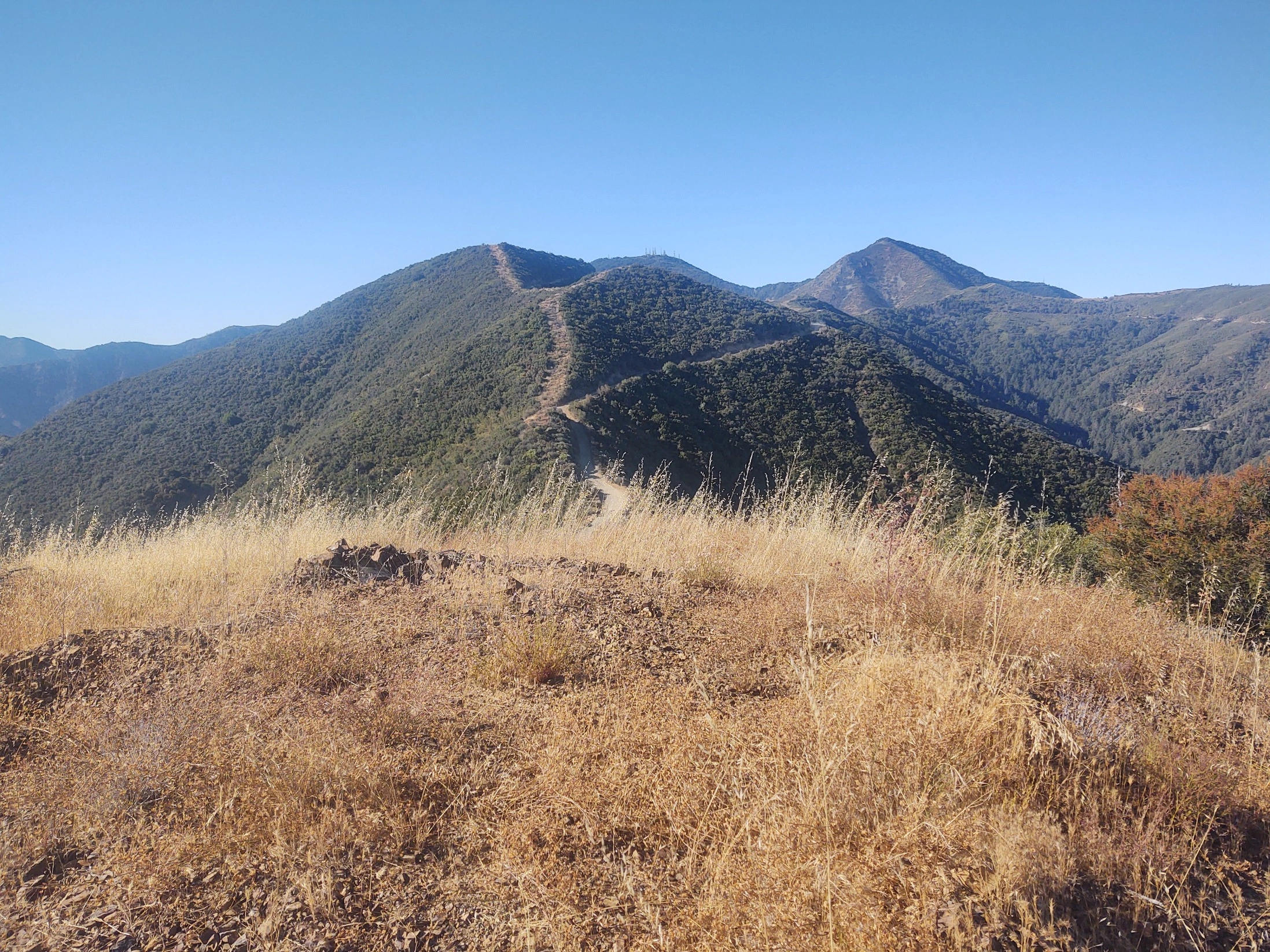
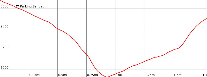
Modjeska Peak, photo by Steve Russell


Peakbagger.com

Nearest ranger station

NOAA Forecast

Google Earth


