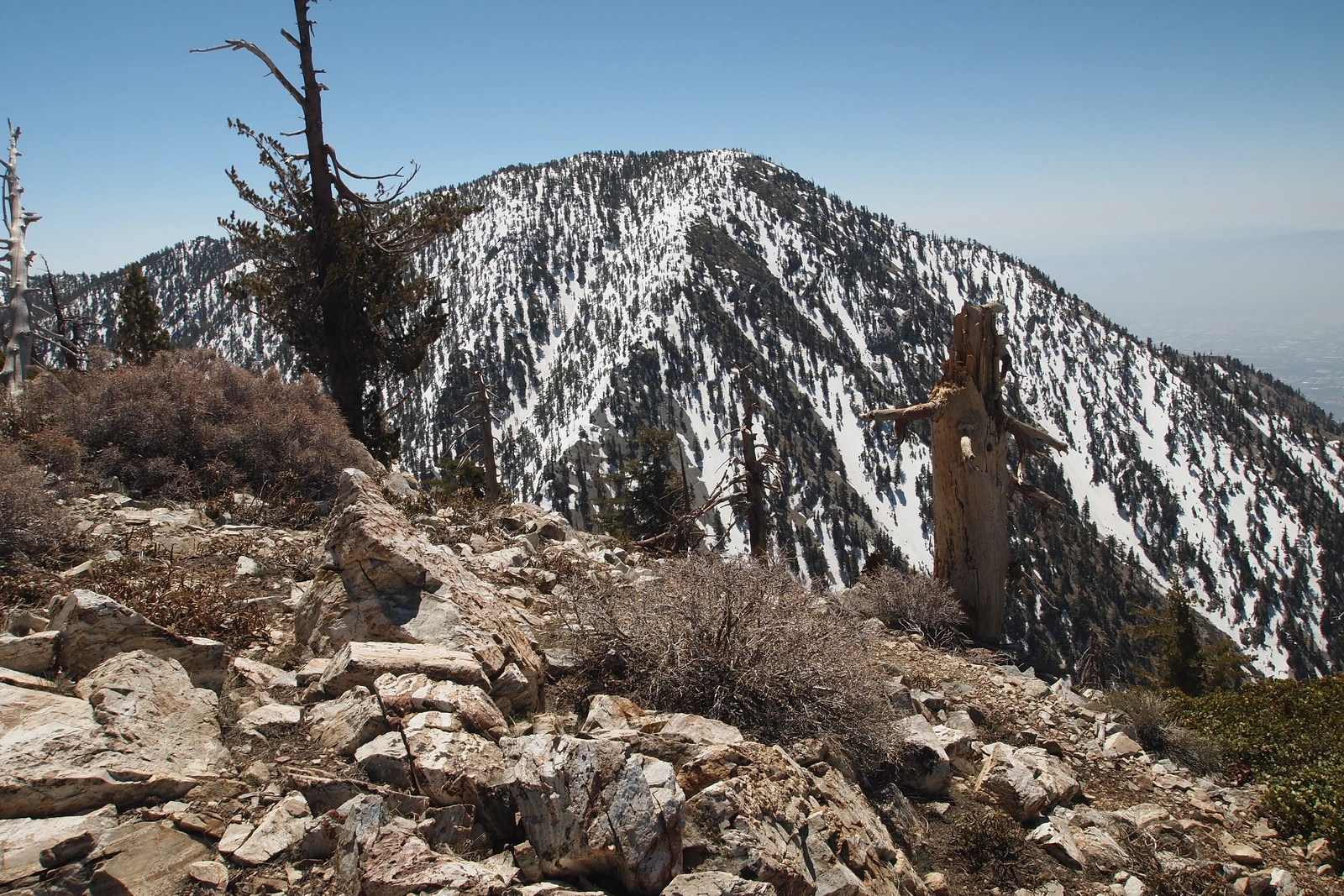
Cucamonga Peak, taken from Bighorn, photo by Kathy Wing
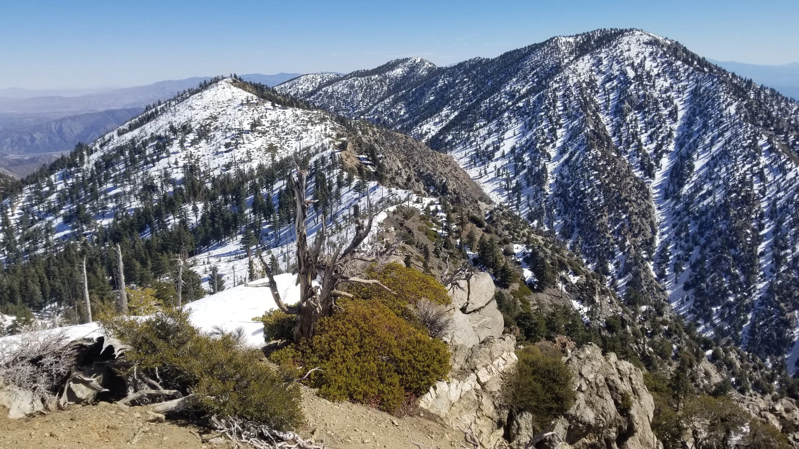
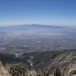
Cucamonga, taken from Ontario, photo by Chris Waldheim
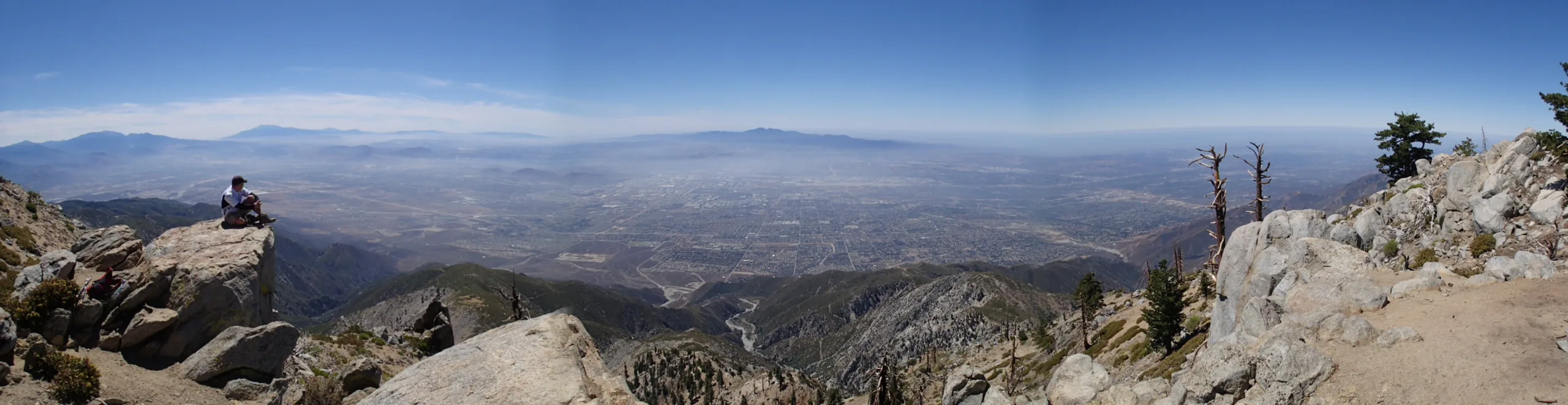
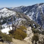
Cucamonga South, taken from Summit, photo by Chris Waldheim


Peakbagger.com

Nearest ranger station

NOAA Forecast

Google Earth


