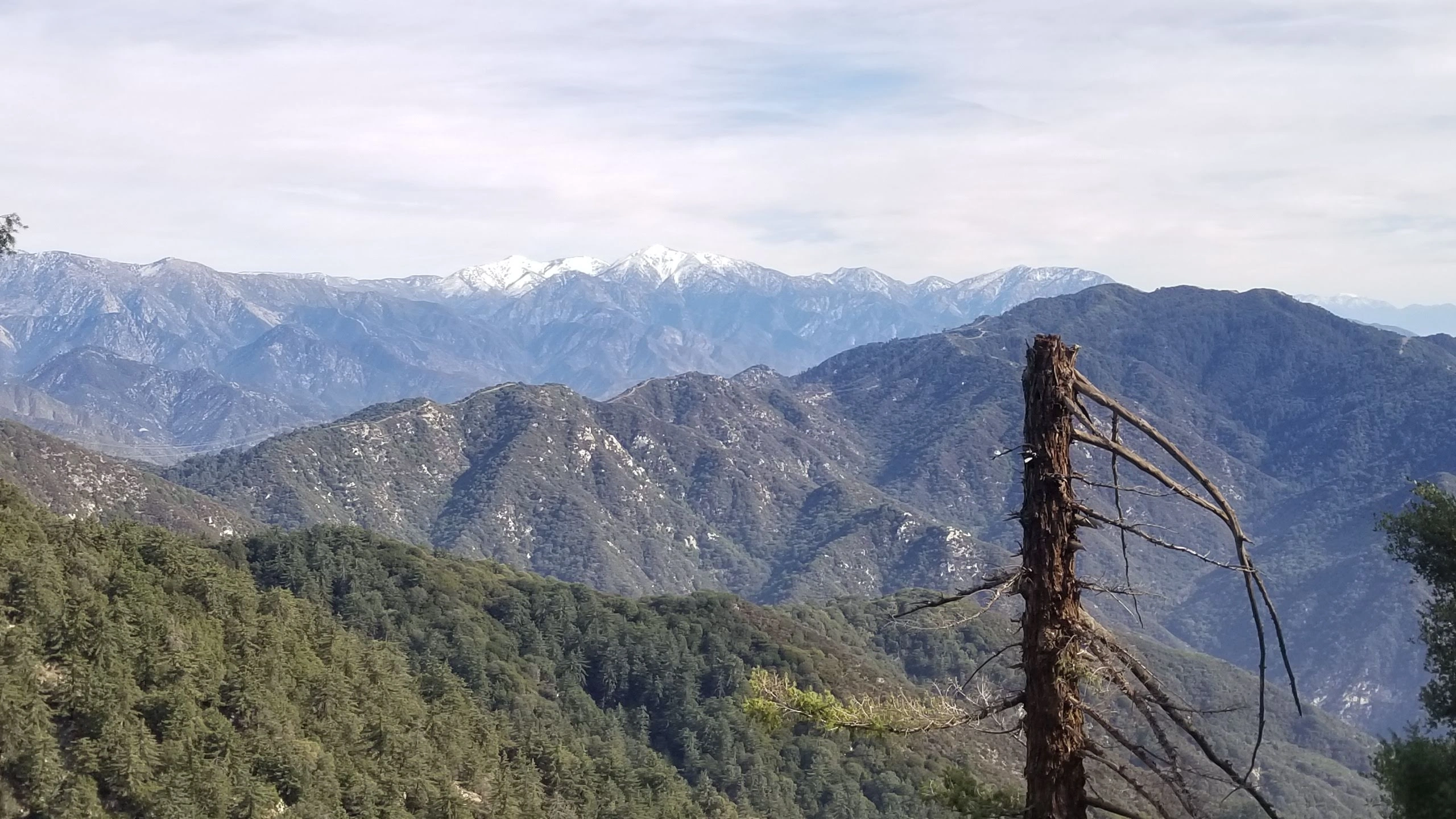
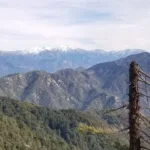
Monrovia Peak, taken from Wilson Trail, photo by Chris Waldheim
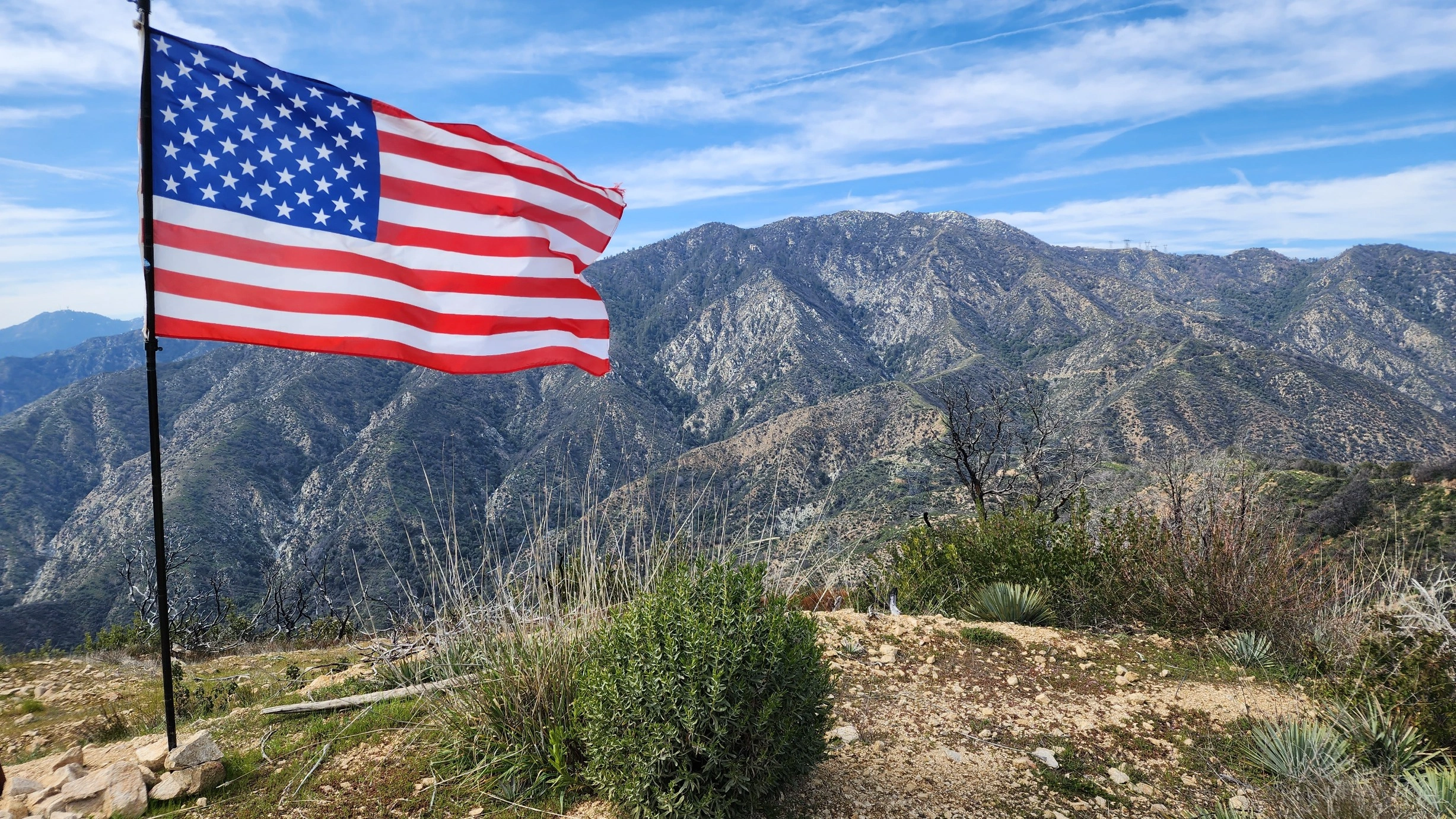
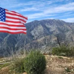
Monrovia Peak, taken from Mount Bliss, photo by Chris Waldheim
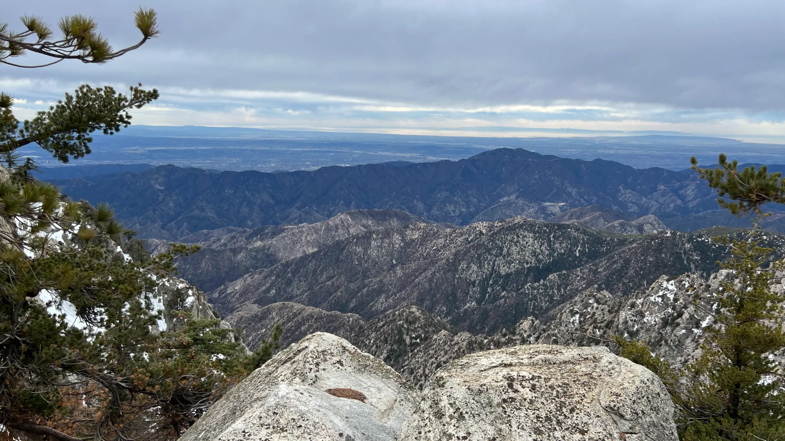
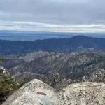
Monrovia, taken from Twin Peaks, photo by Makko Suzuki
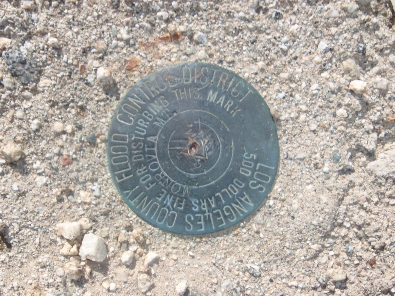
Monrovia Peak benchmark, photo by Chris Waldheim


Peakbagger.com

Nearest ranger station

NOAA Forecast

Google Earth


