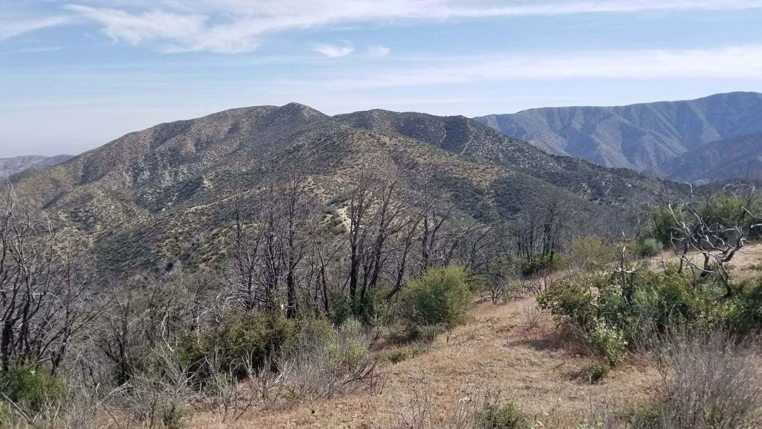
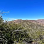
Bare Mountain, taken from the south, photo by Chris Waldheim
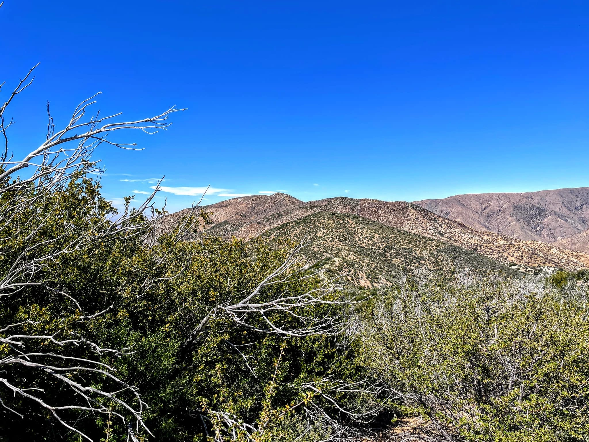
Bare Mountain, photo by Sunny Yi
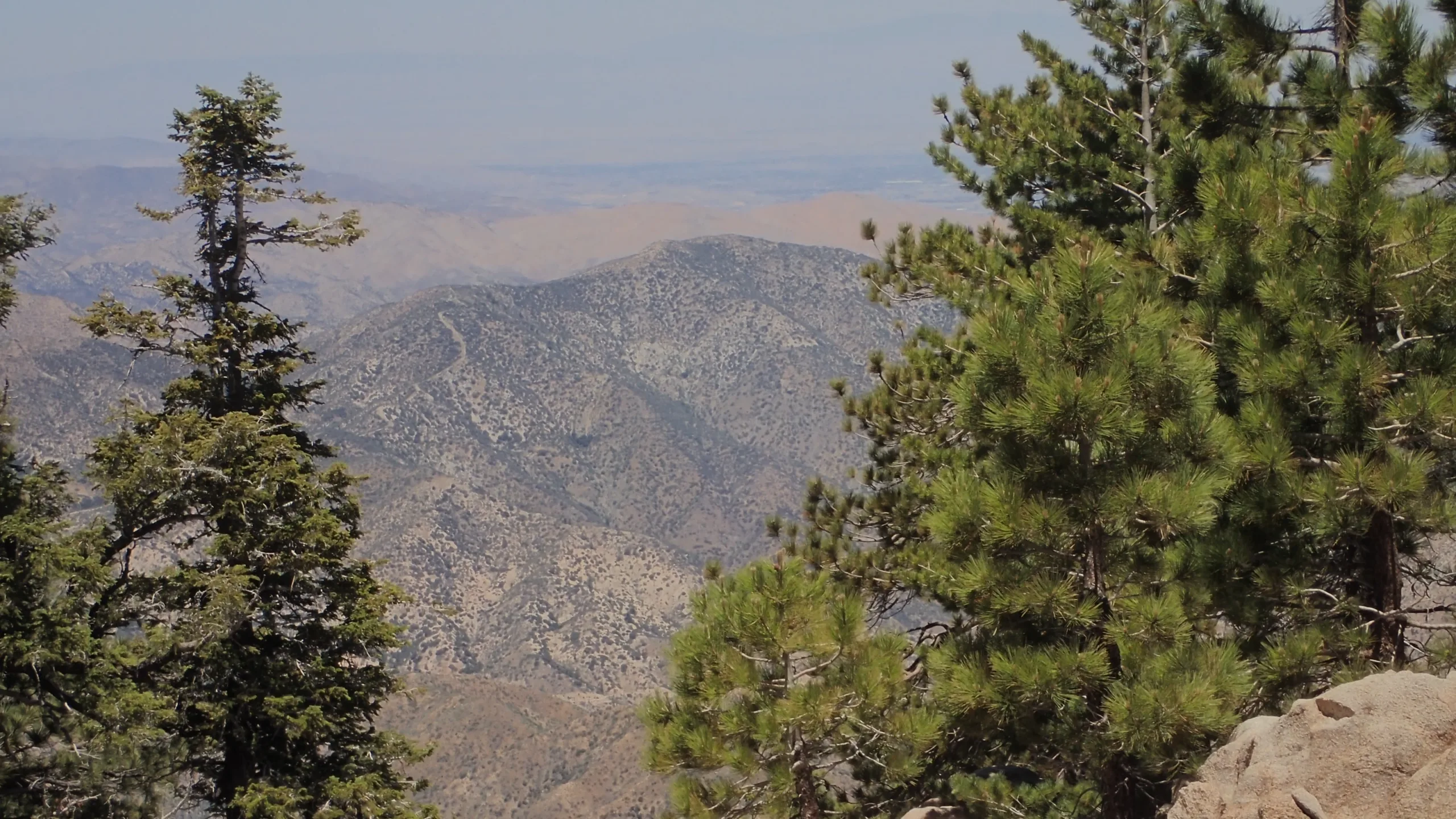
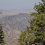
Bare Mountain, taken from Waterman, photo by Chris Waldheim
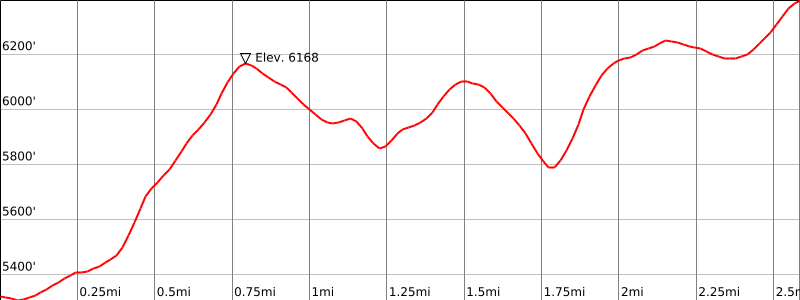

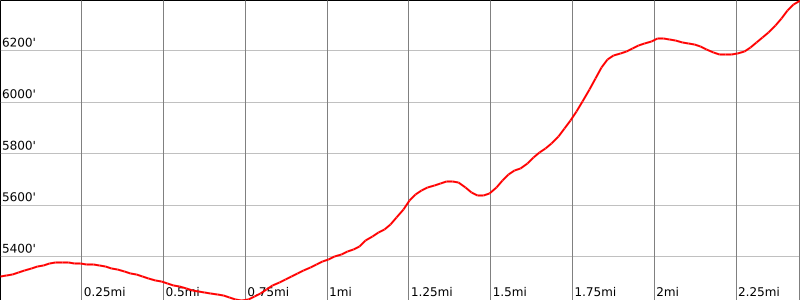

Peakbagger.com

Nearest ranger station

NOAA Forecast

Google Earth


