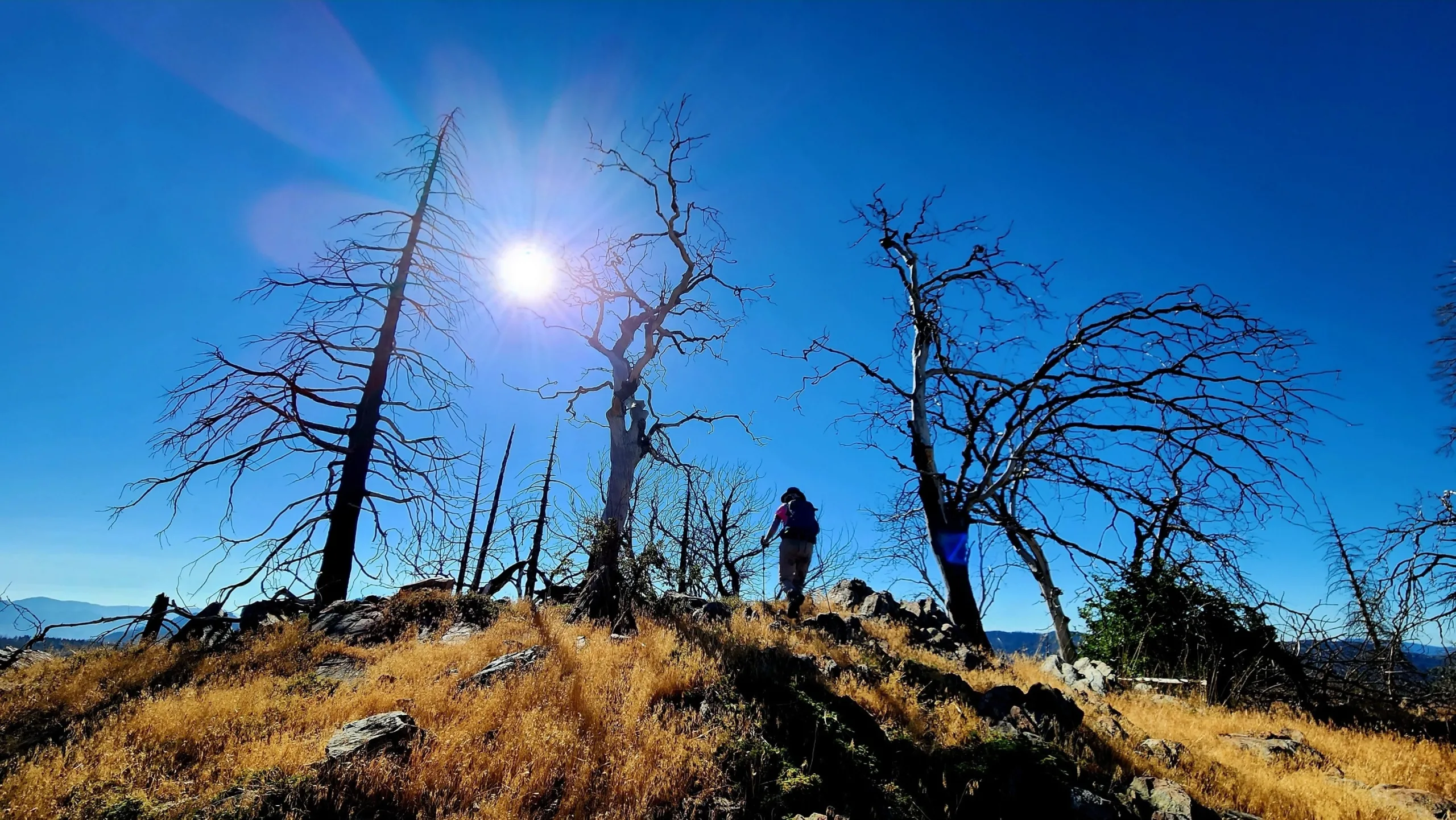
Bohna Peak, near summit, photo by Tao Zhang
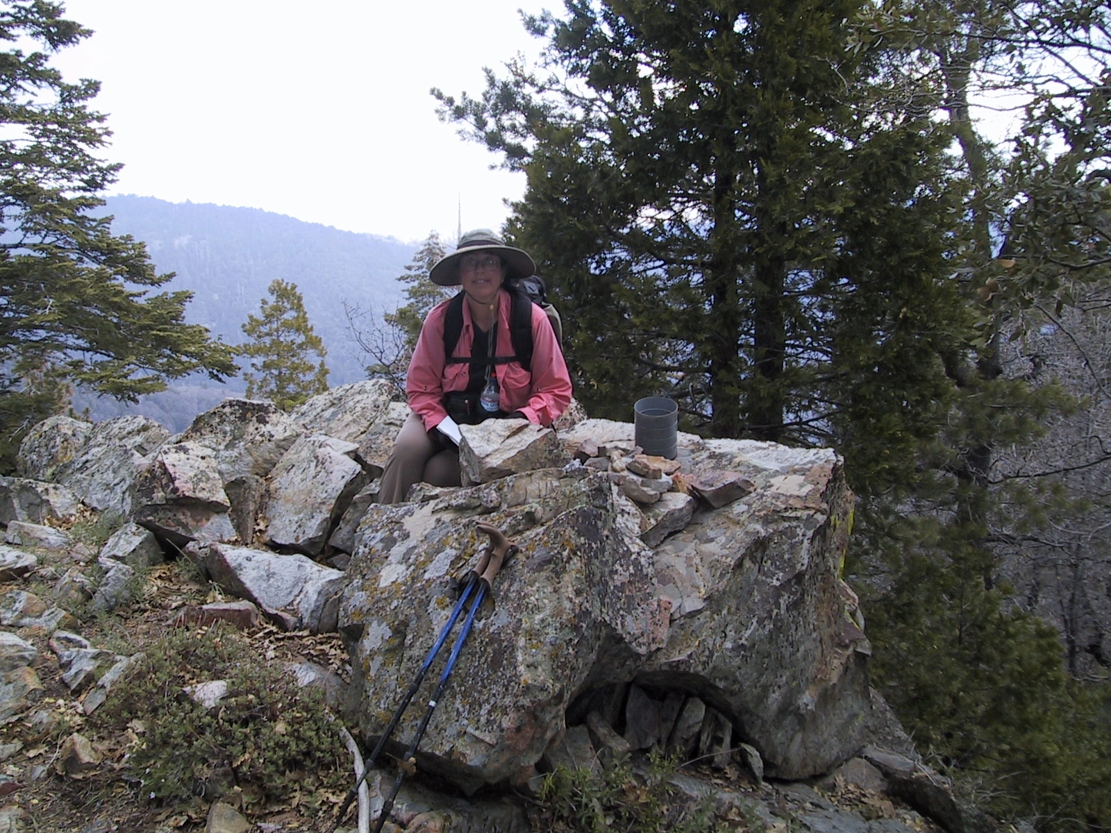
Bohna summit, Karen Leverich's 100th peak, photo by Karen Leverich


Peakbagger.com

Nearest ranger station

NOAA Forecast

Google Earth


